
St. John the Baptist Parish
Mold Removal in Laplace, Outside the Completed Levee System
Tell us what happened and when, and we will say whether this is drying, an assessment, a removal, or nothing worth paying for. Laplace sits outside the completed federal risk reduction system at the western end of a levee project the state records as running to 2030, and its file shows 2,450 repeat-loss properties with only 71 flooded four or more times, which is the signature of one big event rather than a wall that wets slowly.
Request a quote in Laplace
Tell us what you can see or smell, roughly where in the house it is, and whether the house is raised or on a slab. Those three things narrow it more than the size of the patch does, because they point at how the water is arriving rather than where it ended up.
Would you rather talk it through? Call (315) 640-3590.
$100 off your first job
Credited by us on your first booked job.
- One credit per customer per property, on your first booked job.
- Valid through December 31, 2026.
Mention this offer when you book. Full terms.
What Laplace's single-event flood pattern tells an assessor
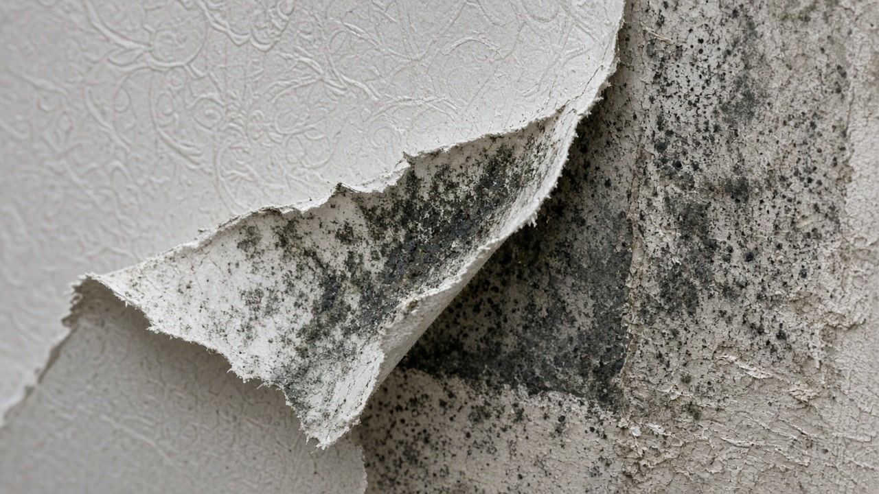
Laplace sits in St. John the Baptist Parish, outside the completed New Orleans area hurricane and storm damage risk reduction system, and is the western end of the West Shore Lake Pontchartrain project, which the state coastal authority records as still in construction on 11 separate reaches with completion given as 2030. Its repeat flooding record, 2,450 multiple loss properties with only 71 of them flooded four or more times, is a pattern of large single events rather than chronic drainage failure.
Source: Louisiana Coastal Protection and Restoration Authority, Annual Plan project record, accessed 2026-09-22
The state coastal authority's project record for West Shore Lake Pontchartrain describes approximately 18.5 miles of levees, floodwalls, drainage structures and pump stations extending from Garyville to LaPlace, to give 100-year storm surge protection to more than 60,000 residents in St. Charles, St. John the Baptist and St. James parishes, with construction ongoing on 11 separate reaches and completion recorded as 2030.
Source: Louisiana Coastal Protection and Restoration Authority, Annual Plan project record, accessed 2026-09-22
Properties with a Laplace reported address account for 2,450 National Flood Insurance Program multiple loss properties, but only 71 of them have four or more paid losses, a far lower proportion than anywhere else in this service area. 401 sit outside the mapped high risk flood zone and only 26 have been mitigated.
Source: Federal Emergency Management Agency, OpenFEMA dataset NFIP Multiple Loss Properties, data as of August 2, 2026, accessed 2026-09-22
The EPA advises drying wet materials within 24 to 48 hours. In New Orleans the outdoor air in that window carries a mean dew point of 75.2F in July and 75.1F in August, with mean relative humidity of 88 percent at 6am, so outdoor air brought into a wet building in summer adds water rather than removing it.
Source: NOAA National Centers for Environmental Information, 2023 Local Climatological Data Annual Summary with Comparative Data, NEW ORLEANS, LOUISIANA (KMSY), WBAN 12916, accessed 2026-09-22
The USDA official series description for Barbary, which the soil survey maps across more than a quarter of St. John the Baptist Parish, describes a very poorly drained and ponded clay of low ponded backswamps, continuously saturated, with a water table ranging from one foot above the surface to half a foot below it continuously, flooding frequently or very frequently for long durations.
Source: United States Department of Agriculture, Natural Resources Conservation Service, Official Series Description, accessed 2026-09-22
Laplace has 11,689 housing units with a median year built of 1985, and 2,561 of them, 21.9 percent, were built between 2000 and 2009. 82.5 percent of the stock is single family detached, the highest share in this service area, and 632 units, 5.4 percent, are mobile homes. Only 22.5 percent of occupied homes are rented.
Source: United States Census Bureau, American Community Survey 2020-2024 five year estimates, accessed 2026-09-22
Laplace's Census Bureau interior point stands 5.74 feet above sea level under the USGS national elevation dataset.
Source: United States Geological Survey, The National Map, 3D Elevation Program Point Query Service, 1/3 arc-second elevation, accessed 2026-09-22
St. John the Baptist Parish, community 220164, holds Community Rating System Class 5, a 25 percent discount in the special flood hazard area and 10 percent outside it. Its first flood insurance rate map took effect on July 16, 1980. Laplace is unincorporated and falls under the parish as its permitting and floodplain authority.
Source: Federal Emergency Management Agency, National Flood Insurance Program Community Status Book, accessed 2026-09-22
St. John the Baptist Parish has 8,974 National Flood Insurance Program claims on record. The dataset covers claims from the start of the program and is redacted to protect individual policyholders.
Source: Federal Emergency Management Agency, OpenFEMA dataset FIMA NFIP Redacted Claims, data as of June 1, 2026, accessed 2026-09-22
Was this one event, or is it slow and constant?
Laplace's record points at single events, so if yours is slow it is worth treating as a building fault instead. Tell us which one it is.
St. John the Baptist Parish holds the permit for every Laplace address
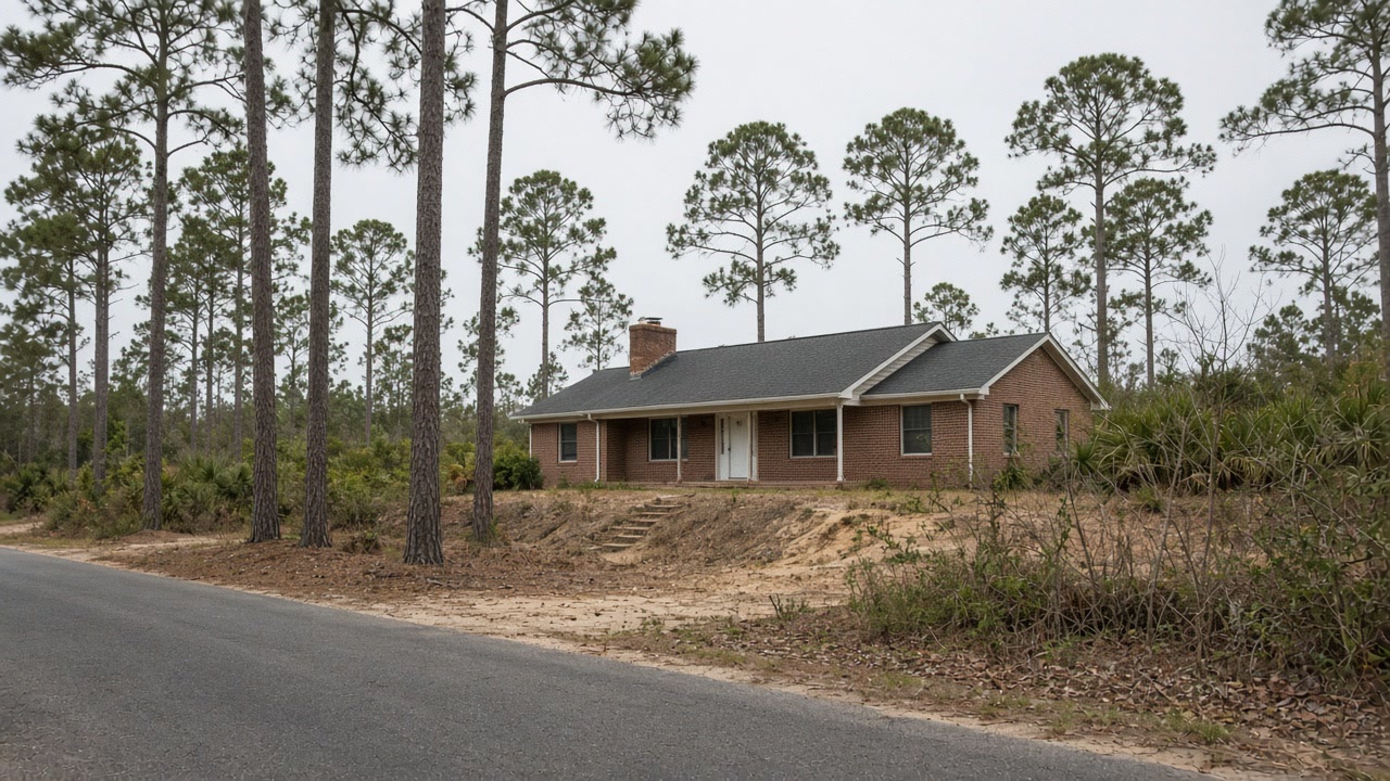
Laplace is unincorporated, so St. John the Baptist Parish is the permitting and floodplain authority for every address, and the parish holds Community Rating System Class 5, a 25 percent discount inside the special flood hazard area, on a first map dated July 16, 1980. The town sits outside the completed federal hurricane and storm damage risk reduction system. The West Shore Lake Pontchartrain project, roughly 18.5 miles of levees, floodwalls, drainage structures and pump stations running from Garyville to Laplace, is recorded by the state coastal authority as still in construction on 11 separate reaches with completion given as 2030. The flood record reads accordingly: 2,450 repeat-loss properties but only 71 paid four or more times, a pattern of large single events rather than a place that is chronically wet. That distinction is most of the diagnosis here. A single soaking followed by a summer in which nothing dried is a different job from a slow leak, and in this climate it is the common story, because at a July dew point of 75.2F with 88 percent relative humidity at 6am, opening the windows brings in more water than it carries out. Only 26 of those 2,450 properties have been mitigated, 1 percent and the lowest rate we see, so tell us when the water came in and what was actually done afterwards.

What we arrange for Laplace addresses
Mold Assessment and Moisture Survey
Find out where the water is arriving, whether the wall is leaking or condensing, and whether there is a mold job here at all, in writing, from a company that is not the one selling you the removal.
Mold Assessment in Laplace →Mold Removal and Remediation
Get the affected material out under containment, take the cause out with it, and have the work priced against a written scope that the removal firm did not write.
Mold Removal in Laplace →Water Damage Drying and Flood Cleanup
Water out and the structure dried to a measured reading inside the 24 to 48 hour window that decides whether the material stays or comes out.
Water Damage Drying in Laplace →Send the Laplace address and how the water arrived
A person reads every request and writes back before anyone is sent out or anything is priced.