
St. Tammany Parish
Mold Removal in Mandeville, Where New Houses Get the Wet Wall
Tell us the year the house went up and which wall the mark is on, and we will say whether this is an assessment, a removal, a drying job or nothing at all. Only 26.1 percent of Mandeville homes predate 1980 and the median was finished in 1990, which matters because a tighter, heavily cooled house is exactly the one whose interior surface the summer air condenses on.
Request a quote in Mandeville
Tell us what you can see or smell, roughly where in the house it is, and whether the house is raised or on a slab. Those three things narrow it more than the size of the patch does, because they point at how the water is arriving rather than where it ended up.
Would you rather talk it through? Call (315) 640-3590.
$100 off your first job
Credited by us on your first booked job.
- One credit per customer per property, on your first booked job.
- Valid through December 31, 2026.
Mention this offer when you book. Full terms.
The city of Mandeville, its 2012 map, and the parish line
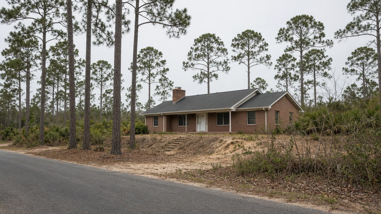
The city of Mandeville issues its own permits and holds Community Rating System Class 5, a 25 percent discount inside the special flood hazard area and the deepest on the North Shore, on a current map dated May 16, 2012, the most recent in St. Tammany Parish. An address just outside the city limit falls under the parish instead at Class 7, on a map last revised in 1999, so which side of that line you are on changes both the office and the rating. The housing is what makes Mandeville its own case. Only 26.1 percent of homes here predate 1980 and the median was finished in 1990, with 1,228 built in the 1990s and 1,076 in the 2000s. A newer house is a tighter house with more cooling in it, and the building science guidance for this climate says what follows: where the interior air is cooler and drier than the outdoor air, vapor migrates inward through the wall and condenses when it reaches a surface below its dew point. That is the wall sweating, and it is a new house problem here as much as an old house one. Underneath, the Stough fine sandy loam carries a seasonal high water table about one to one and a half feet down late in winter and early in spring, with no regular flooding, so persistent damp at floor level in February is a soil and grading question rather than a flood one.
Areas within Mandeville: Old Mandeville, Lewisburg, Beau Chene

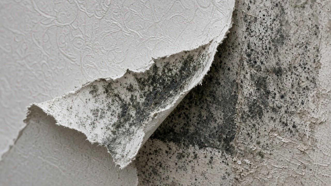
Does the wall feel cold and damp with the air on?
In a Mandeville house built in the 1990s that is the mechanism working exactly as the physics says it will. Tell us which wall, and which room.
Old Mandeville to Beau Chene: what we arrange
Mold Assessment and Moisture Survey
Find out where the water is arriving, whether the wall is leaking or condensing, and whether there is a mold job here at all, in writing, from a company that is not the one selling you the removal.
Mold Assessment in Mandeville →Mold Removal and Remediation
Get the affected material out under containment, take the cause out with it, and have the work priced against a written scope that the removal firm did not write.
Mold Removal in Mandeville →Water Damage Drying and Flood Cleanup
Water out and the structure dried to a measured reading inside the 24 to 48 hour window that decides whether the material stays or comes out.
About Water Damage Drying →What a 1990 Mandeville house tells an assessor
Mandeville has 6,003 housing units with a median year built of 1990 and only 26.1 percent of the stock predates 1980, the newest housing in this service area after Covington. 1,228 units were built in the 1990s and 1,076 between 2000 and 2009.
Source: United States Census Bureau, American Community Survey 2020-2024 five year estimates, accessed 2026-09-22
The guidance states that if the interior air of a home is relatively cooler and drier than the exterior air, water vapor will naturally migrate through the walls from outside toward the inside, and that where the wall contains a vapor retarder on the interior side of the insulation, the water vapor will condense on this cool, impermeable surface, with no way to dry to the interior.
Source: Pacific Northwest National Laboratory, U.S. Department of Energy Building America Solution Center, accessed 2026-09-22
The USDA official series description for Stough, the second most extensively mapped major component in St. Tammany Parish, is a somewhat poorly drained coarse-loamy fine sandy loam of coastal plain terraces with a fragic horizon, a seasonal high water table 30 to 46 centimeters, about 1 to 1.5 feet, below the surface during the wet season late in winter and early in spring, and no regular flooding.
Source: United States Department of Agriculture, Natural Resources Conservation Service, Official Series Description, accessed 2026-09-22
The city of Mandeville, community 220202, holds Community Rating System Class 5, a 25 percent discount in the special flood hazard area and 10 percent outside it, the deepest discount on the North Shore. Its current effective flood insurance rate map dates from May 16, 2012, the most recent in St. Tammany Parish.
Source: Federal Emergency Management Agency, National Flood Insurance Program Community Status Book, accessed 2026-09-22
St. Tammany Parish has 113,911 housing units with a median year built of 1995. Only 21.4 percent of the stock predates 1980 and just 1.6 percent predates 1940. Jefferson Parish, by contrast, has a median year built of 1975 with 62.2 percent predating 1980, and Orleans Parish a median of 1960 with 73.7 percent predating 1980.
Source: United States Census Bureau, American Community Survey 2020-2024 five year estimates, accessed 2026-09-22
Mandeville's Census Bureau interior point stands 10.43 feet above sea level under the USGS national elevation dataset.
Source: United States Geological Survey, The National Map, 3D Elevation Program Point Query Service, 1/3 arc-second elevation, accessed 2026-09-22
Mandeville records 396 National Flood Insurance Program multiple loss properties, of which 53 are severe repetitive loss and 221 predate the city's first flood insurance rate map of September 28, 1979.
Source: Federal Emergency Management Agency, OpenFEMA dataset NFIP Multiple Loss Properties, data as of August 2, 2026, accessed 2026-09-22
Combining the community first map dates with the Census year-built distribution shows how much of each town predates any flood elevation rule. In Westwego 74.5 percent of housing units predate 1980 and the first map arrived in December 1976. In New Orleans 73.7 percent predate 1980 against a first map of October 1971. In Mandeville only 26.1 percent predate 1980 and in Covington 29.1 percent, against first maps of 1979 and 1980.
Source: United States Census Bureau, American Community Survey 2020-2024 five year estimates, accessed 2026-09-22
Send the Mandeville room and what the wall is doing
A person reads every request and writes back with the questions that narrow it down.