
Mold Assessment in Slidell on Poorly Drained Terrace Soil
A survey that separates water standing against the house from water condensing inside it, and puts both answers in writing.
Mold Assessment quote in Slidell
Tell us what you can see or smell, roughly where in the house it is, and whether the house is raised or on a slab. Those three things narrow it more than the size of the patch does, because they point at how the water is arriving rather than where it ended up.
Would you rather talk it through? Call (315) 640-3590.
$100 off your first job
Credited by us on your first booked job.
- One credit per customer per property, on your first booked job.
- Valid through December 31, 2026.
Mention this offer when you book. Full terms.
Slidell's height, Myatt soil and two flood ratings
Slidell's Census Bureau interior point stands 10.30 feet above sea level under the USGS national elevation dataset, more than fifteen feet higher than Kenner's.
Source: United States Geological Survey, The National Map, 3D Elevation Program Point Query Service, 1/3 arc-second elevation, accessed 2026-09-22
The USDA official series description for Myatt, the most extensively mapped major soil component in St. Tammany Parish, describes a poorly drained fine-loamy soil of level or nearly level broad stream terraces and upland flats in the Southern Coastal Plain, formed in medium to moderately fine-textured marine or fluvial sediments, with very slow to slow runoff.
Source: United States Department of Agriculture, Natural Resources Conservation Service, Official Series Description, accessed 2026-09-22
The city of Slidell, community 220204, holds Community Rating System Class 6, a 20 percent discount in the special flood hazard area and 10 percent outside it. Its first flood insurance rate map took effect on December 16, 1980.
Source: Federal Emergency Management Agency, National Flood Insurance Program Community Status Book, accessed 2026-09-22
St. Tammany Parish, community 225205, holds Community Rating System Class 7, a 15 percent discount in the special flood hazard area and 5 percent outside it, and its current effective flood insurance rate map dates from April 21, 1999, the oldest current map in this service area. The three cities inside it hold their own separate classes.
Source: Federal Emergency Management Agency, National Flood Insurance Program Community Status Book, accessed 2026-09-22
Slidell has 12,203 housing units with a median year built of 1979. 54.4 percent predate 1980 and only 433 units, 3.5 percent, predate 1940. 72.4 percent of the stock is single family detached and only 31.5 percent of occupied homes are rented.
Source: United States Census Bureau, American Community Survey 2020-2024 five year estimates, accessed 2026-09-22
What a Slidell survey is separating
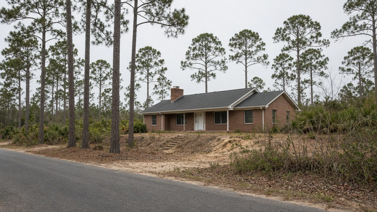
Slidell is higher than the south shore and still wet, and the survey's job is to find out which kind of wet. The town's interior point reads 10.30 feet above sea level, but the soil most extensively mapped in St. Tammany Parish is Myatt, which the USDA describes as poorly drained with very slow to slow runoff. Water that lands on it can stand. Add the summer air that condenses on cooled interior walls across this whole metro, and a damp Slidell wall has two strong suspects. Readings at the foundation line, set against surface temperature and dew point on the wall, tell them apart.

City or parish, and the yard: Slidell before the survey
Check which office your address actually sits under. Two houses with Slidell on the envelope can be inside the city, which holds Community Rating System Class 6 on a first map from December 1980, or in unincorporated St. Tammany Parish at Class 7 on a map unchanged since April 1999. A report that will go to an insurer or a buyer should name the right one. Then watch the lot in heavy rain. Whether water stands against your foundation is something you can see before anyone arrives, and it narrows the survey before it starts.
Where water stands after rain
On slow draining Myatt ground, water against the foundation is the first thing to rule in or out.
Inside the city line or out
The city and the parish hold different ratings and different maps. The report should name the one your address sits under.
Who will read the report
72.4 percent of Slidell's homes are detached and most are owner occupied. A buyer, lender or insurer reads a survey differently from you.
Does water stand in the Slidell yard after rain?
Tell us where and for how long. On this ground that is one of the two answers the survey is looking for.
Slidell removal and drying after the survey
Slidell survey questions on high, slow ground
Can a survey tell whether the damp is from the ground or from the air conditioning?
Usually, yes. Surface temperature and the dew point of the air touching the wall show whether it is below the condensing point, and meter readings at the foundation line show whether moisture is arriving from outside. On Slidell's slow-draining ground both are plausible, which is why both are measured.
Does a Slidell mailing address mean the city of Slidell?
Not always. The federal flood file counts properties by the mailing address on the policy, and an address that says Slidell can sit outside the city limit, under St. Tammany Parish. The city holds Class 6 and the parish Class 7, on different maps, so the survey report names which jurisdiction applies.
Send the Slidell street and what the wall is doing
A person reads it, works out whether the address is city or parish, and says what the survey would cover.